Banner image placeholder
Banner image

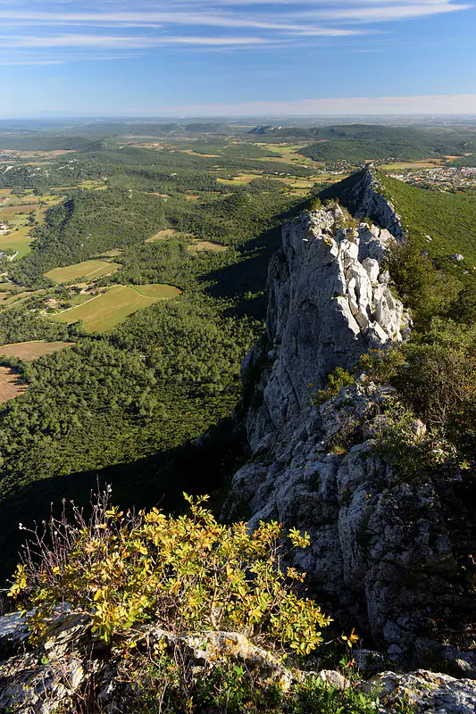
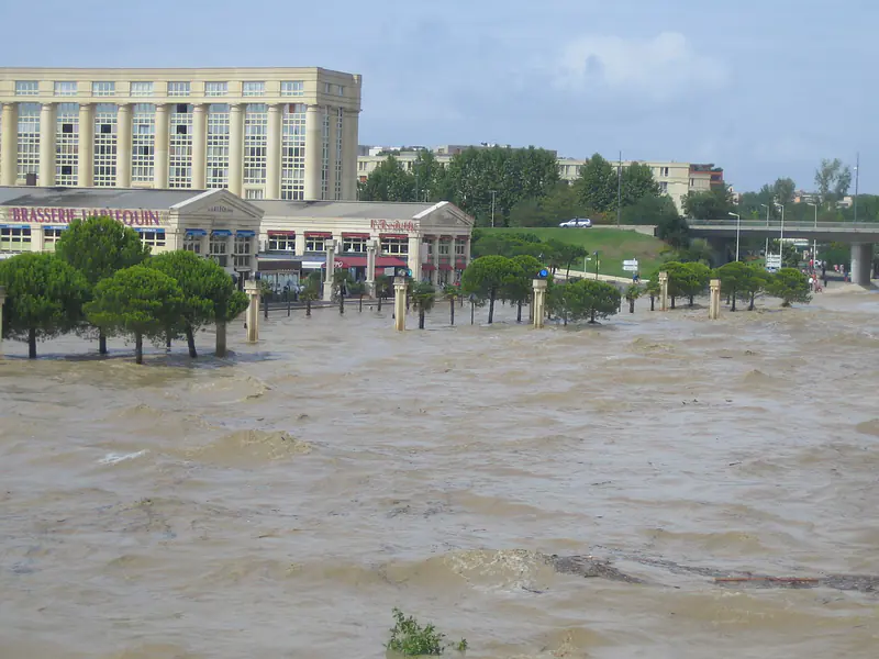
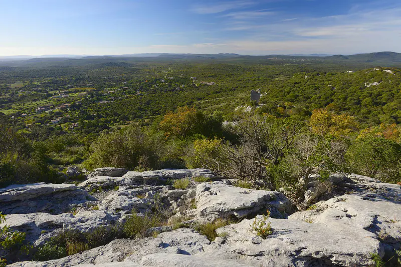
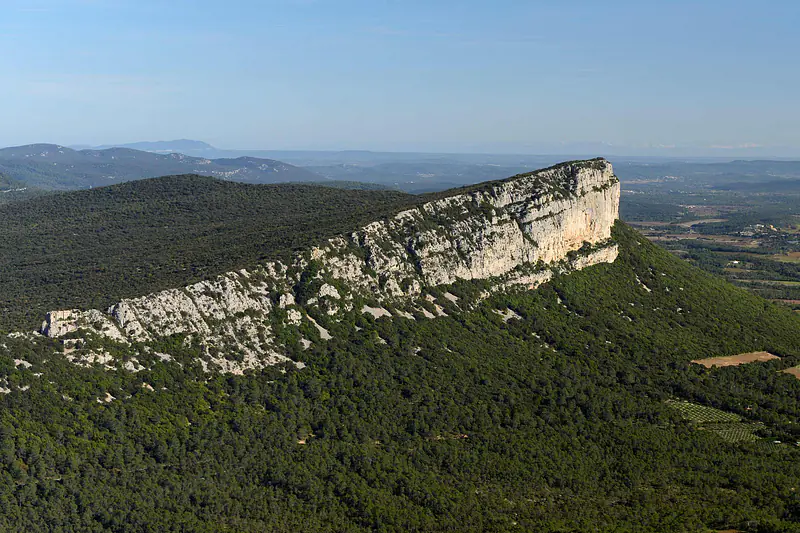
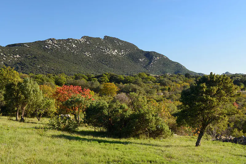
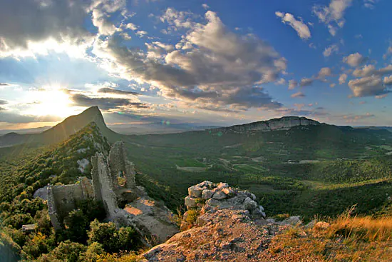
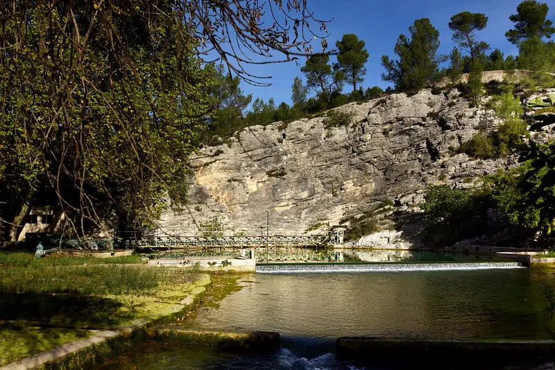
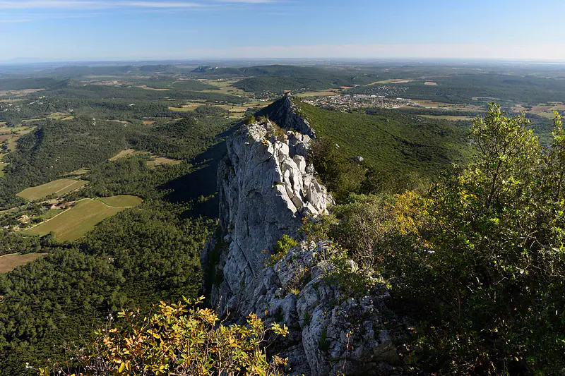
Lez karst system (France)


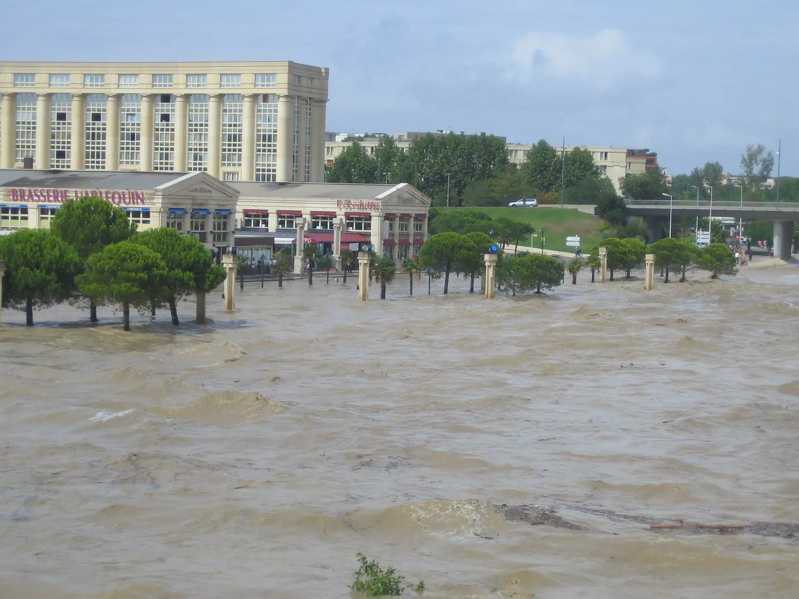
Geochemistry, hydrological modelling and wavelet analysis identify groundwater origins and mixing, characterize multi-scale karst dynamics, and quantify the effects of groundwater management on water resources and flood response.


🆔

Location: North of Montpellier, Occitanie region, France

Elevation: 65 - 650masl

Geology: Cretaceous and Jurassic limestone

Aquifer type: karst aquifer 

Scientific question: "What is the impact of the active management of the Lez spring?"

Lez karst spring is part of  SNO Karst and OZCAR research infrastructure

Location map

Presumed catchment of the Lez spring under the effect of pumping.

Key findings

  • Water origins and mixing: geochemical and isotopic tracers identified three main water sources—Cretaceous waters, Brestalou surface waters, and deep, mineralized Jurassic waters—and revealed their changing contributions to the spring.
  • Karst dynamics: interaction between rapid conduit flow and slower matrix storage.
  • Modelling: quantification of recharge, groundwater storage and pumping effects on spring discharge and flood attenuation.
  • Wavelet analysis: identification of the different temporal scales linking rainfall, groundwater levels and spring discharge over 38 years.
  • Active management: demonstration that groundwater abstraction modifies both resource availability and hydrological response.

Hydrogeological model

Simplified hydrogeological cross-section of the Lez karst aquifer.

Identifying the impact of climate and anthropic pressures on karst aquifers using wavelet analysis


Jean-Baptiste Charlier, Bernard Ladouche, Jean-Christophe Maréchal

Journal of Hydrology, vol. 523, 2015 Apr, pp. 610-623


Semi-distributed lumped model of a karst system under active management


Ladouche Bernard, Marechal Jean-Christophe, Dorfliger Nathalie

Journal of Hydrology, vol. 509, 2014 Feb, pp. 215-230

Share

Text Only Owlstown
QR Code
Translate to