Banner image placeholder
Banner image
Site avatar
Jean-Christophe Maréchal
Senior Hydrogeologist

Curriculum vitae


G-EAU

BRGM

1039 rue de Pinville
34000 Montpellier
FRANCE


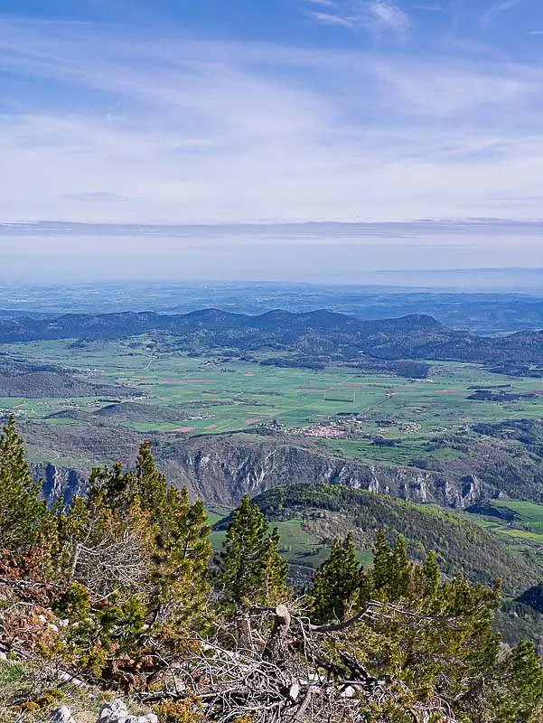
Plateau de Sault karst system (France)


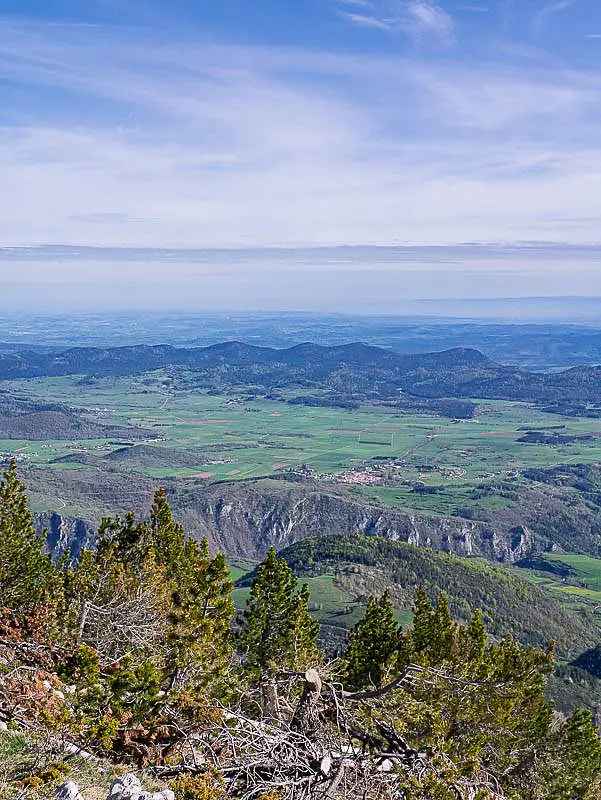
Integrated geological, geophysical, and hydrogeological studies have revealed the structure, extent, and recharge areas of the karst aquifers on the Sault Plateau. Multi-tracer approaches have been used to characterize groundwater flow and the connections between recharge areas and the main karst springs. This work has made it possible to quantify a significant groundwater resource and to identify areas with varying levels of vulnerability, thereby providing a basis for the sustainable management of groundwater resources.


🆔

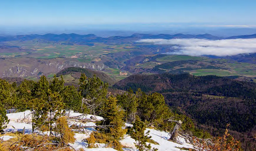
Location: Pyrenean mountains, France

Elevation: 990 - 1310 m a.s.l.

Geology: Cretaceous limestone

Aquifer type: karst aquifer 

Scientific question: "Which amount of groundwater is stored into the karst mountains?"

Location map

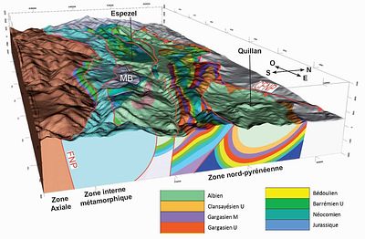
Lithological and Structural Map of the Sault Plateau

Key findings

  • The karst aquifer system was delineated and its recharge areas identified.
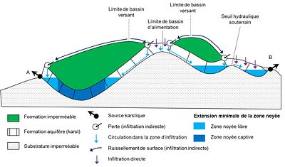
    Geological, geophysical and hydrogeological investigations, combined with the KARSYS approach, established the structure and extent of the main karst systems and their recharge zones.
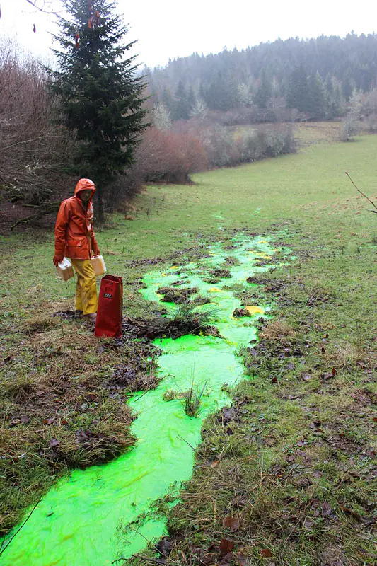
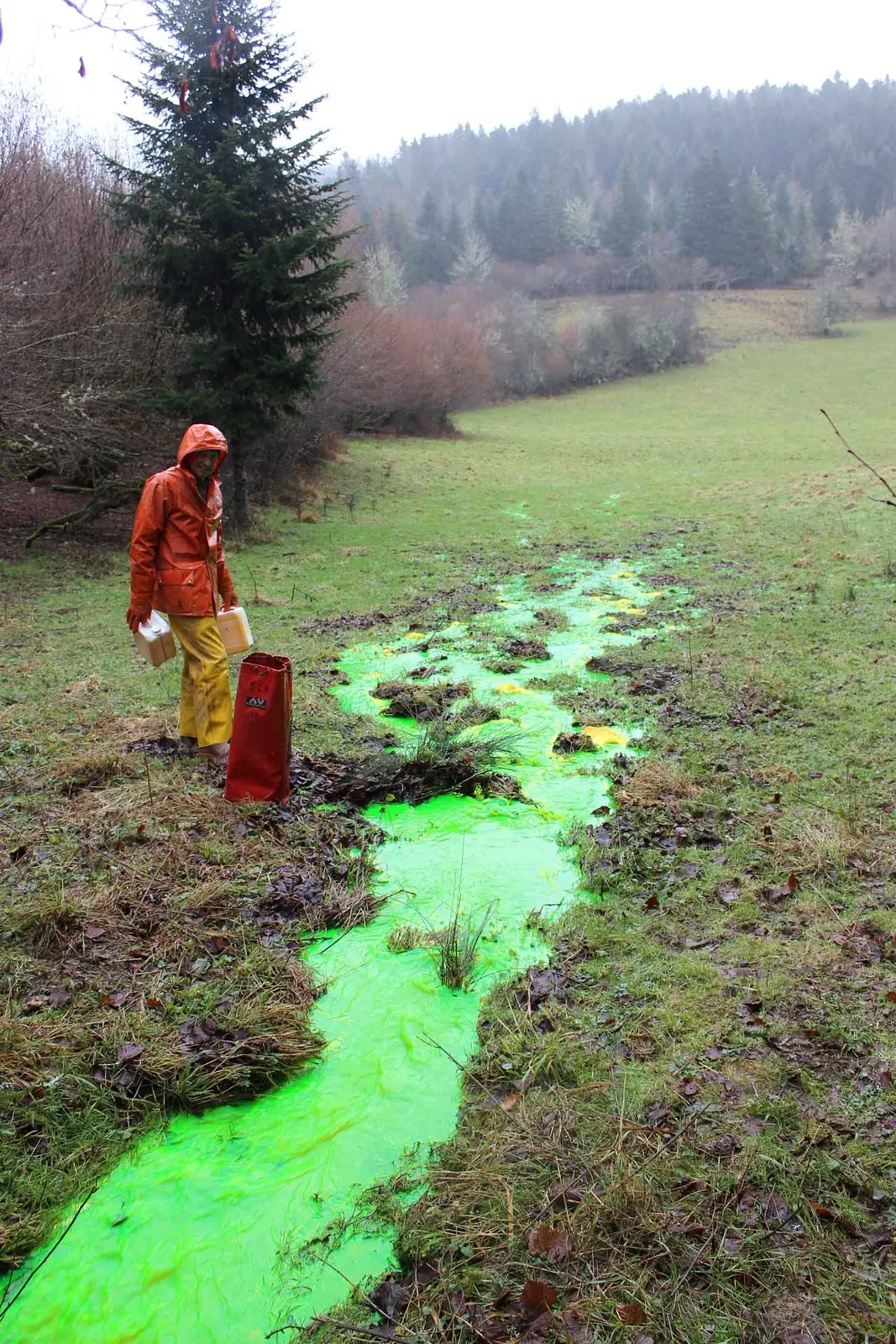
  • Multi-tracer investigations revealed the organization of karst groundwater flow.
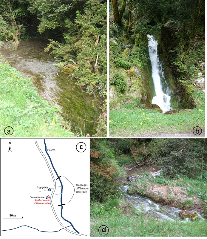
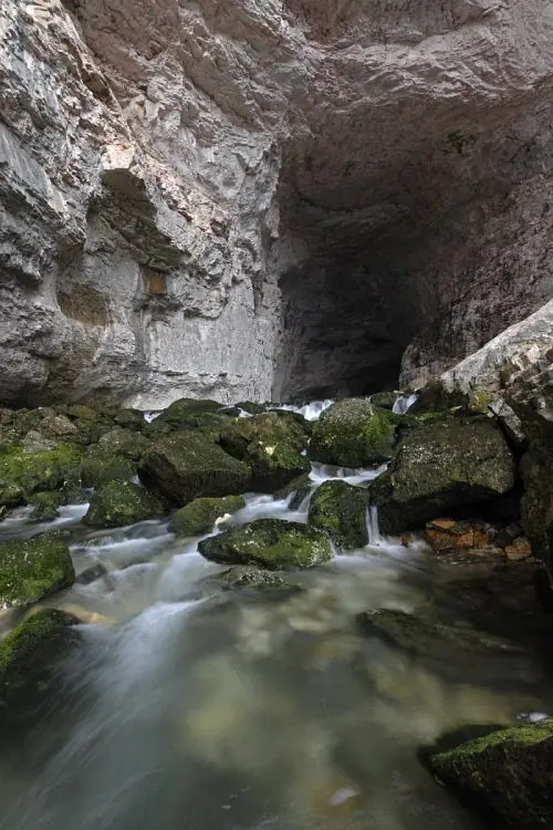
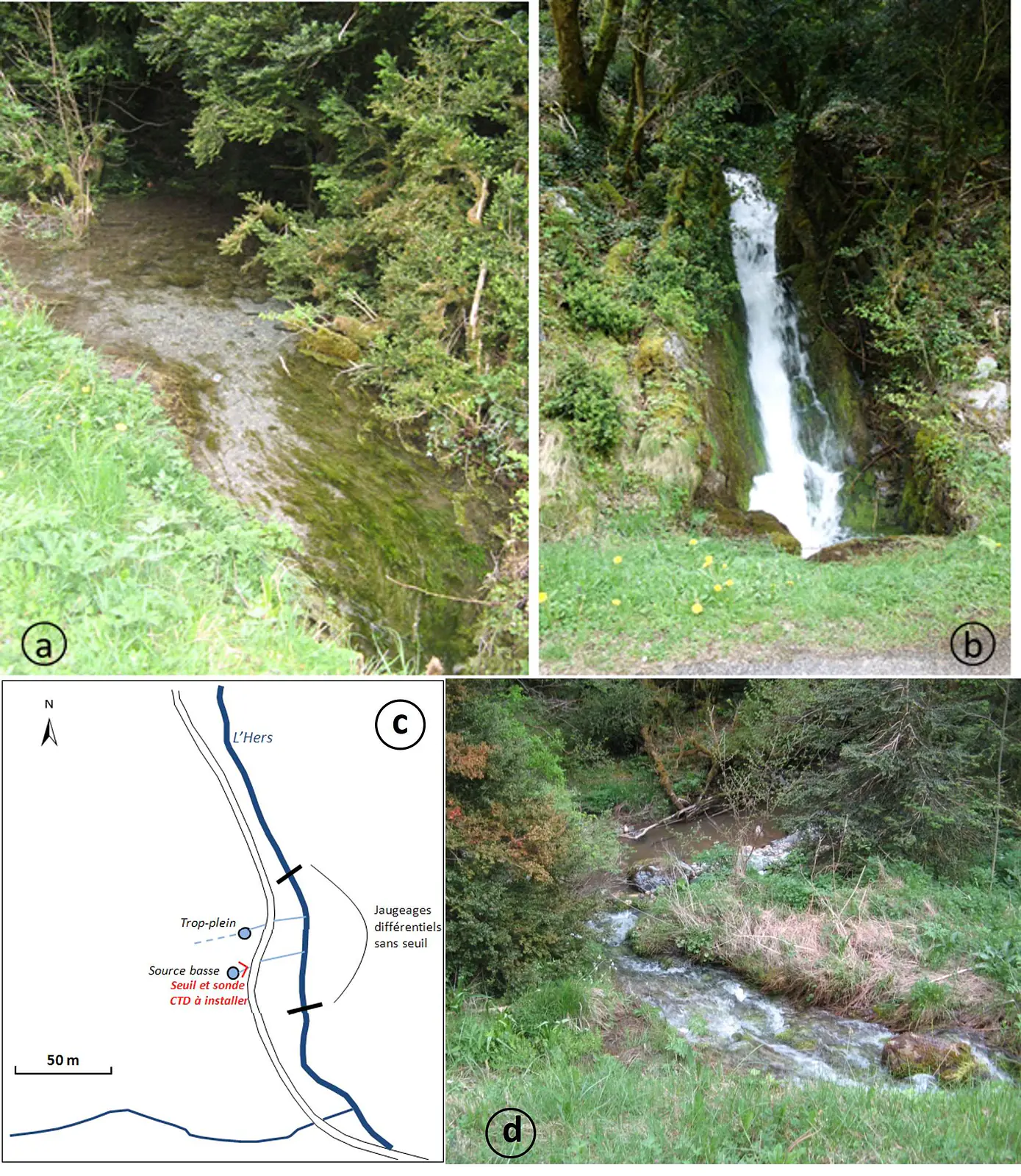
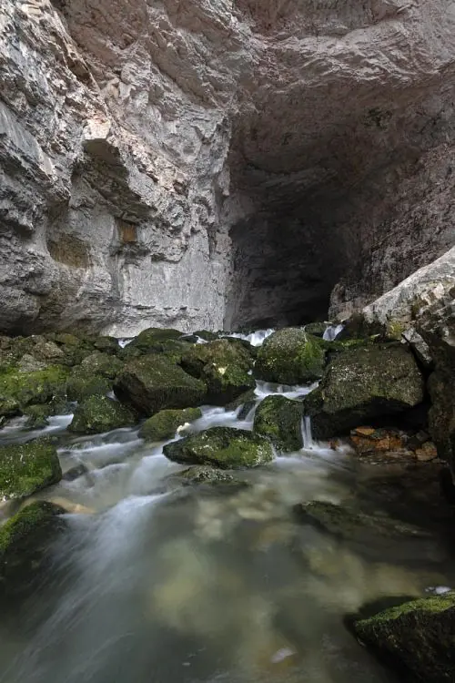
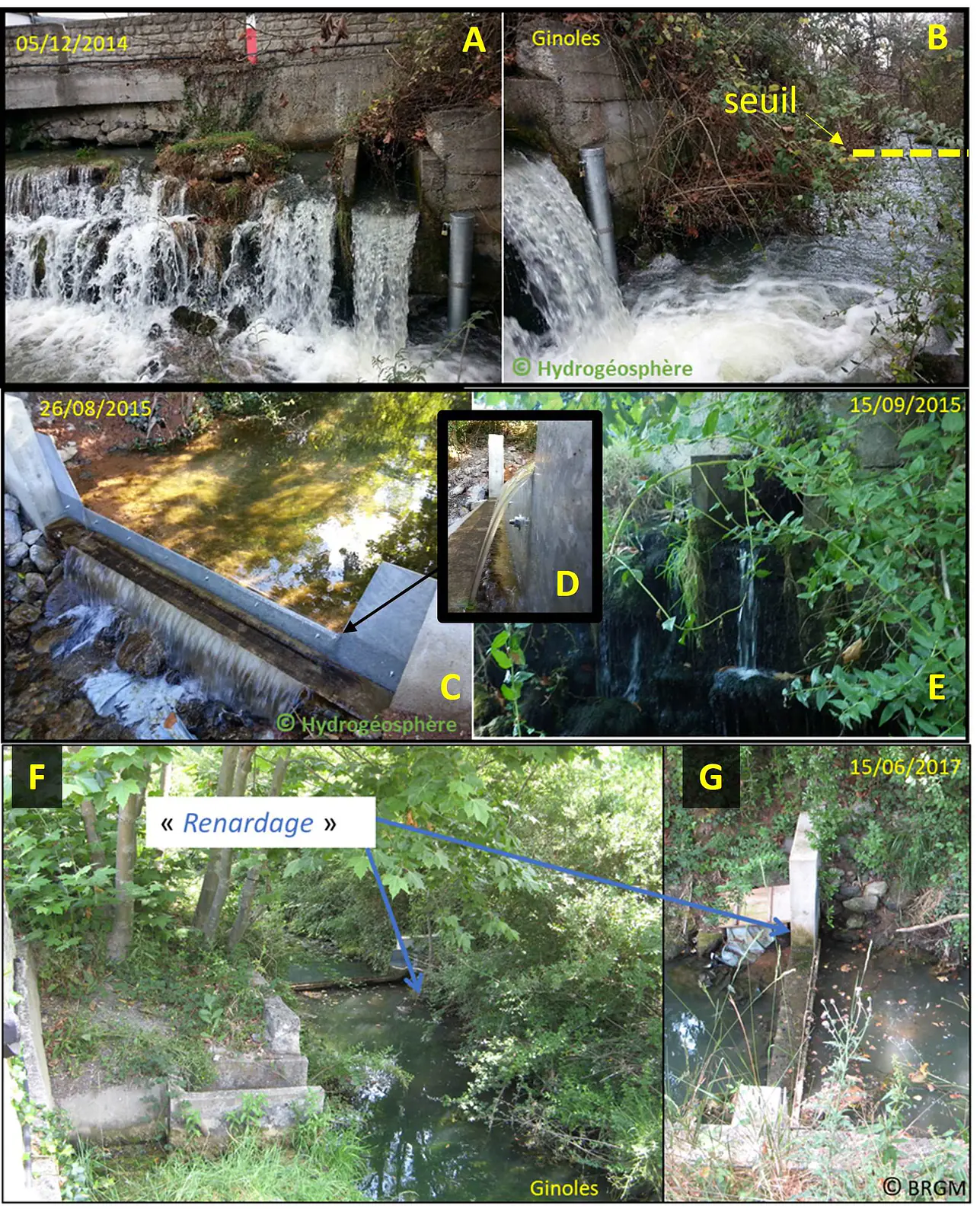
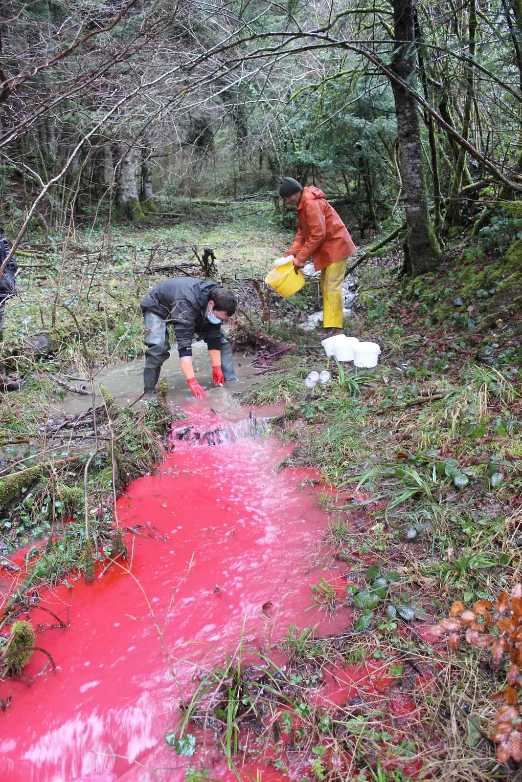
    Geochemical and isotopic tracers were used to characterize groundwater circulation and connections between recharge areas and major springs, including Fontestorbes and Font Maure.
  • The work quantified a substantial groundwater resource while highlighting its vulnerability.
    The study showed that the Plateau de Sault contains significant groundwater resources, generally of good quality, but that vulnerability to contamination varies strongly according to the geological and recharge context.

Hydrogeological model

Hydrogeological map of the Plateau de Sault karst system


Interprétation hydrogéologique d’un modèle géologique 3D: Application aux karsts du Plateau de Sault


Vincent Bailly-Comte, Arnaud Malard, Bernard Ladouche, Bernard Monod, Cécile Allanic, Jean-Christophe Maréchal

Karstologia, vol. 82(2), 2023


Les aquifères karstiques du Plateau de Sault: enjeux et questions scientifiquess


Jean-Christophe Maréchal, Bernard Ladouche, Vincent Bailly-Comte, Cécile Allanic, Bernard Monod, Pierre Marchet, Evelyne Lacombe

Karstologia, vol. 82(2), 2023, pp. 1-6


Modélisation géologique et géophysique 3D du Plateau de Sault[


Cécile Allanic, Bernard Monod, Lucile Martel, Thomas Jacob, Gabriel Courrioux, Adnand Bitri, Vincent Bailly-Comte, Jean-Christophe Maréchal

Karstologia, vol. 82(2), 2023, pp. 19-30

Share

Text Only Owlstown
QR Code
Translate to